Whitehouse Road 16a, BT48 0NE Londonderry, GBR
55.02365, -7.35092Master Data
Basic information of the location including address components and coordinates
Flood Risk
Location-specific flood risk classification
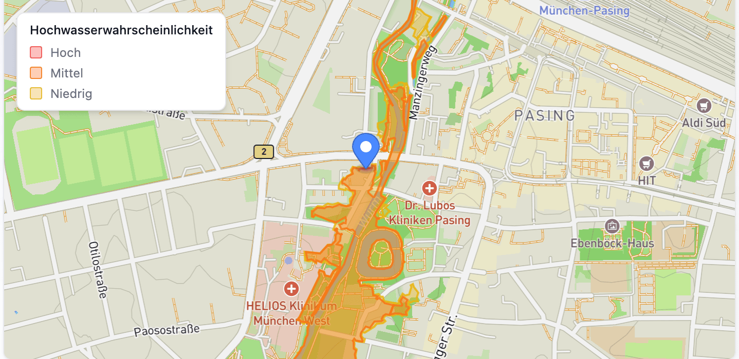
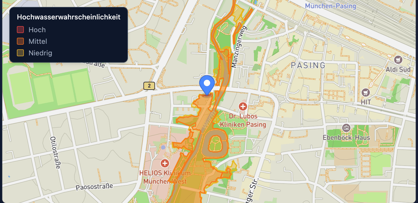
Example data — contact sales for flood risk data on this address
Water Protection Zones
Location-specific identification of drinking and mineral water protection areas


Example data — contact sales for protection zone data on this address
Fire Risks Nearby
Businesses with fire-relevant operations within range of this address
No fire risks within 500m of this address
Summary — contact sales for full list with locations and industries
Whitehouse Road 16a, BT48 0NE Londonderry, GBR
55.02365, -7.35092
Whitehouse Road 16a, BT48 0NE Londonderry, GBR
55.02365, -7.35092
The information on this page is sourced from public sources, official registries, or provided by third-party providers. Fusionbase does not guarantee the accuracy, completeness, or timeliness of the data. If you have any questions or suggestions, feel free to contact us via the contact form.